

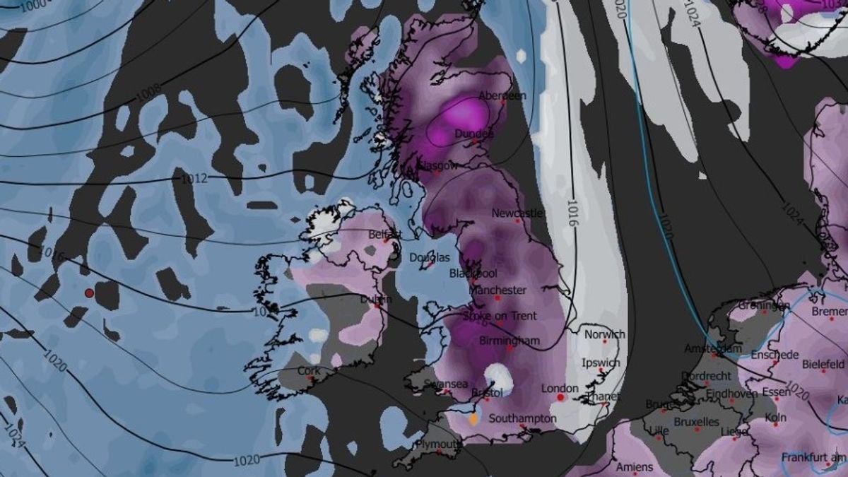

Britons are bracing for the impact of two significant snowstorms expected to bring up to 19 inches of snow, affecting approximately 90% of the UK. Weather models indicate that the initial storm will move across the country on January 29, beginning with Northern Ireland, Wales, the west coast of Scotland, and the southwest of England. The snow is forecasted to spread eastward during the day, covering northern England, the Midlands, and the southeast by 9 am, with cities like London, Southampton, Birmingham, Manchester, and Liverpool likely to experience snowfall. Meanwhile, another blizzard is anticipated on January 30, with heavy snowfall expected in the southwest, Wales, the northwest, and parts of Scotland by around 9 pm. This second storm is also projected to move eastward overnight into January 31, bringing further snow to Yorkshire, the Midlands, and southern England by 6 am. Snow coverage maps show that about 90% of the UK will be blanketed with snow by January 31, with only some areas in the southwest, Wales, and Northern Ireland escaping the snowfall. Predictions suggest that the Scottish Highlands could see as much as 48cm (approximately 19 inches) of snow, while northern and central England may experience 12cm (5 inches), North Wales 15cm (6 inches), and parts of southern England up to 7cm (3 inches). The Met Office also anticipates additional snowfall towards the end of January and the beginning of February, with varying weather conditions expected across the UK during this period. Later in February, wintry conditions may persist, particularly in northern regions, as unstable weather patterns continue to influence the UK’s climate.
© All rights reserved by London Sky 24